What this means:
When we last visited this blog had there been any posts in the six months prior?
If yes, then we mark the blog as active. We review blogs as often as we can.
Ask us to check this blog again via our: Contact Page

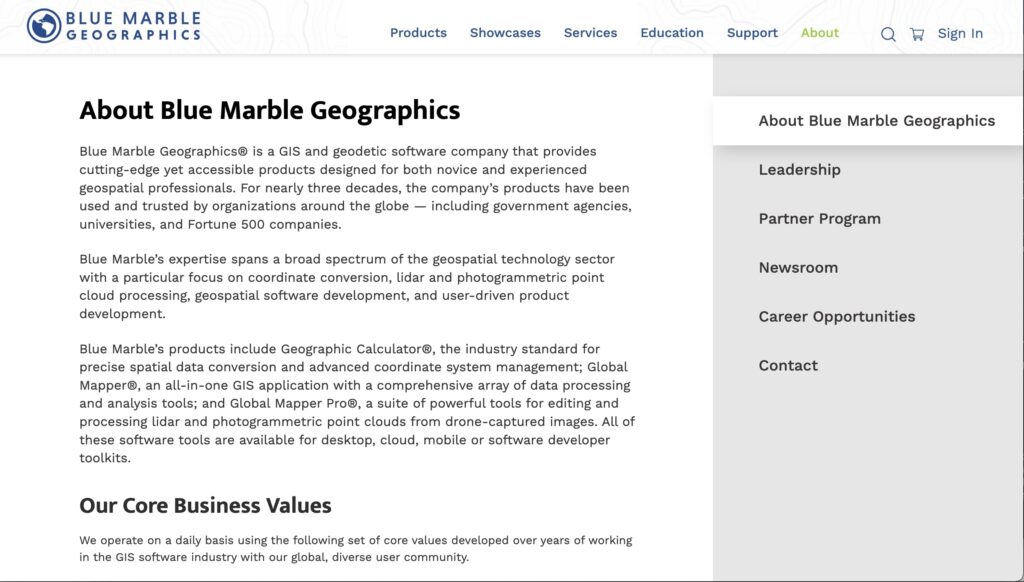
Blue Marble Geographics® is a GIS and geodetic software company that provides cutting-edge yet accessible products designed for both novice and experienced geospatial professionals. For nearly three decades, the company’s products have been used and trusted by organizations around the globe — including government agencies, universities, and Fortune 500 companies.
Blue Marble’s expertise spans a broad spectrum of the geospatial technology sector with a particular focus on coordinate conversion, lidar and photogrammetric point cloud processing, geospatial software development, and user-driven product development.
Blue Marble’s products include Geographic Calculator®, the industry standard for precise spatial data conversion and advanced coordinate system management; Global Mapper®, an all-in-one GIS application with a comprehensive array of data processing and analysis tools; and Global Mapper Pro®, a suite of powerful tools for editing and processing lidar and photogrammetric point clouds from drone-captured images. All of these software tools are available for desktop, cloud, mobile or software developer toolkits.